
Campus Cornerstones Project Explores the History of Iowa State's Oldest Buildings
Digital Scholarship and Initiatives is pleased to announce the completion of a new website dedicated to the history of campus buildings at ISU. Campus Cornerstones: A mapped history of Iowa State University is a collaborative digital scholarship project led by Digital Scholarship and Initiatives and the ISU GIS Facility that explores the history of the buildings on ISU campus through historical photographs, maps, and modern GIS data. The recently updated site now contains histories, photographs, and map locations for all major buildings built from 1859 through 1900 with the goal of adding future decades as time and resources allow. We hope visitors to the site enjoy discovering more about the history, growth, and development of Iowa State’s built environment.

Site Features
Profile pages for 54 buildings constructed on ISU’s campus from 1859-1900 contain brief “biographies,” campus maps, and galleries of digitized historical photographs from the Library’s Special Collections and University Archives. Much of the historical information for each building was drawn from H. Summerfield Day’s comprehensive history The Iowa State University Campus and Its Buildings: 1859-1979 published in 1980. Day was the University Architect from 1966-1975.

The site also offers an interactive map displaying locations for each campus building along with toggleable layers of building footprints, a timeline slider, and digitized historical campus maps overlaid on modern base map layers. Many other campus maps are available on the historical maps browse page.


The site allows for a variety of other ways to understand campus history including a timeline page allowing users to explore campus buildings as well as the photograph collection in chronologial order. Users can also use the word cloud visualizations to understand which architects and contractors built the most buildings on campus.
Data Reuse
GIS layers and metadata used throughout the project website are available for download by visiting the site’s data tab. Building images and historical map images are also available for download from each image’s record page.
Related Resources
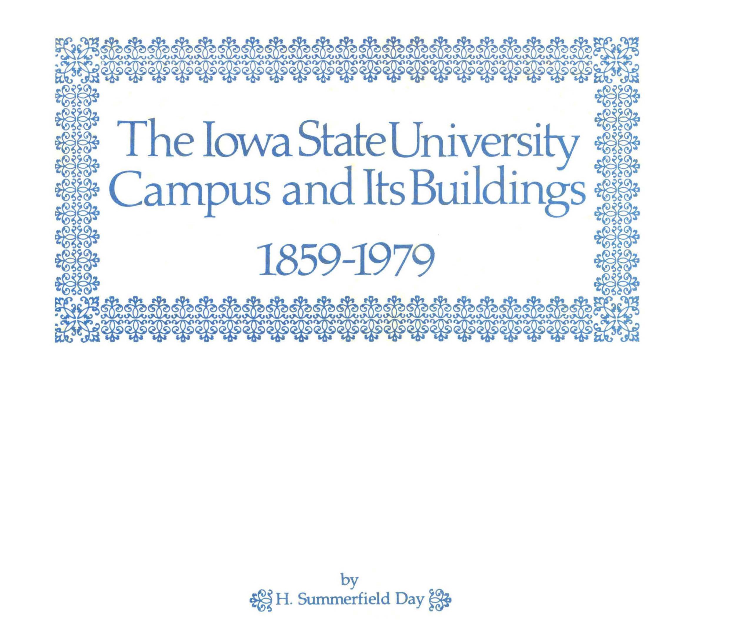
A companion project, The Day Edition, is a digital edition of H. Summerfield Day’s The Iowa State University Campus and Its Buildings: 1859-1979.
Photographs and historical maps digitized for this project are also available in the Iowa State University Photographs and the Iowa State University Historical Maps digital collections along with many other photographs and maps related to ISU’s history.
Project Contributors
Kevin Kane, Director Emeritus, ISU GIS Facility - Project Lead
Erin Ridnour, Digital Scholarship Librarian, Digital Scholarship and Initiatives - Project Lead
Wael Alhaj, GIS Analyst, ISU GIS Facility
Michaela Beck, GIS Student Assistant, ISU GIS Facility
Mary Witkowski, Digital Scholarship Student Assistant, ISU Library
Special thanks to everyone involved in the digital projects workflow from Iowa State University Library’s Special Collections and University Archives, Preservation, Metadata Services, and Digital Scholarship and Initiatives departments for their work in digitizing maps and photographs for inclusion in this project.
For more information about this project contact Erin Ridnour or Kevin Kane.